I had been once before to hike the trail named Laurel loop with my son, I had heard a few of the stories, a woman in white, disembodied screams, colonial graves and long abandoned foundations were some of the reported finds. Certainly the trail delivered with the gravesite, the stone walls and foundations. Thankfully nothing to scare my son that particular day. I haven’t paid Pachaug state forest much attention until this past weekend, when I started scrolling through Alltrails to find something to take my son away from his switch. That’s when I came upon the Mt Misery loop trail. a short three-mile hike with a few hundred feet of elevation. it being only a thirty minute drive I thought what better way to spend the morning.

What’s in a name
I hadn’t really thought about it at first, but as we were getting into the trail, I started to ponder why a place like this would have the name misery? The campground at the base of the small mountain bore the same name and eventually I had to know why. Turns out there’s a long history about the area, about how Voluntown got its, name, how Pachaug state forest has 27,000 acres, and why names like bare hill, stone hill, hells hollow and Mt Misery adorn the local maps.
When Inspiration Strikes
So last Sunday I slept in a little bit, but when I finally got up, made coffee, made me and my son breakfast I figured I wanted to get outside. We had plans for the afternoon but it was such a nice day I wanted to enjoy it. Also I didn’t want him to be on his switch any longer than he already had been. So when I saw that there was a two mile trail up a small mountain with only a thirty minute drive, I figured that’s what we were doing.
Previous Hike
Last winter I had taken him hiking on the laurel loop trail, he did really well, I was surprised at the time he did the 3.5 mile loop with no complaints. My son is 7 so sometimes he’ll go several miles and not bat an eye, and other times we’ll be a quarter mile in and he’s dragging his feet, complaining that he’s bored. Wondering when we’ll be there.
So anyway, I tell him we’re going to climb a small mountain, and he’s into it. Good enough. Unlike the laurel trail loop you don’t have to drive down any gravel roads to get to the trail head. The parking area is around a field right next to the Mt Misery campground entrance. From there you walk a short distance down gravel road to the trail head. There’s no parking directly at the trail head. I should also note that there are a lot of gravel roads running through Pachaug state forest that are open to motor vehicle traffic. Many people use these roads to hike, bike and even ride horses but keep in mind that you might come across a car, truck, or motorcycles when your on the gravel roads.
On the trail
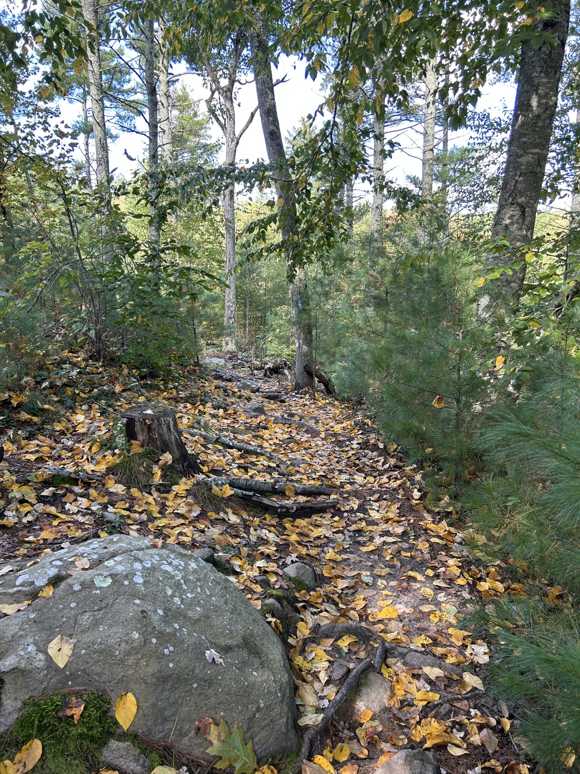
Once on the trail it was we saw ferns, some swampy areas, and it wasn’t long before we started to climb. There were enough switchbacks to make it seem not as steep, and it was very rocky. Almost immediately my son started saying how tough it was, and I kept him encouraged telling him it was worth the hard work to see the top. He kept at it, and pretty soon we crested the first section. The trail has some really cool cliffs even towards the beginning. We stood on one big rock that had probably a thirty foot drop to the forest floor. Remarked that we were just down there pointing at what looked like the trail below us, then kept going.
Eventually the trail hit a second climb, this time taking us to the first overlook immediately before the summit. This is where I took a nice panoramic video, later I posted it on Instagram before realizing that at the very end you can hear my son asking if he can go pee somewhere. Last year, there was one weekend when we had gone hiking, and after the weekend he went back to his moms. Later that day she texts me and says my son has been saying weird things, so I’m like what, what’s he saying? She told me that every time he had to use the bathroom, he told her he had to see a man about a horse. Yeah, that was me.
Any way, back to Mt. misery. So from the top there’s what looks like a little loop, what it actually is is two trails up to the summit from a gravel parking lot on the western side of the slope. One goes almost straight up a rock, and the other is a less steep option. And the gravel road goes around the backside of the mountain and reconnects with the main gravel rd. I didn’t want to do the out and back, so we opted to take the gravel road back to the jeep. I had assumed that this road would have been gated off on the main road but it actually wasn’t, so if you really wanted to you could drive up this fire rd. park at the loop and take the very short path to the Mt Misery overlook. Maybe another time.
Hitting the back roads
After the hike we took to the gravel roads with the jeep, the forest is absolutely beautiful this time of year, and it was a great day to be outside, even just cruising backroads with the windows down. Like I said before there are a lot of people using these roads for various activities. So we took it slow, passed a few people hiking, some walking their dogs.
After taking a corner I saw a group of equestrians ahead. I stayed way back, I didn’t have anywhere particular to be and I figured when they got to a spot that it was safe for me to pass they’d let me know. But after only a minute or two they started going into the woods on the left one by one, and when I finally got to where they had disappeared I saw they had all headed down an equestrian trail. The last people we saw were two motorcyclists, I pulled over to one side to let them pass before coming to the end of the gravel road. After the break, I’ll tell you some of the history of the Pachaug state forest, nearby Voluntown CT, And some of the ghost stories told by the people who frequent the area.

The history of Pachaug State Forest
The name Pachaug comes from the native American term for bend in the river, the area had been inhabited by the Narragansett, Mohegan and Pequot tribes who were relentlessly pushed out by white settlers in the 1700’s. A settlement was established along the Pachaug river called Voluntown. The land the town was built upon was initially granted to veterans of King Phillips war and was originally called Volunteer Town. This is actually very interesting to me because of all the other places in Rhode Island that I’ve been looking into that has a connection to King Phillips war, Particularly everything that connects to the great swamp battle, or more accurately the great swamp slaughter. That’s for another episode.

A bad deal
Once there the settlers realized how bad the land was for agriculture, being littered with stones, sand and hills the people could barely make a living. In the 1700’s the Ct general court deemed the area to be unsuitable for settlement. Honestly reading that the first time doesn’t surprise me one bit, knowing that the Marine corps base known as 29 palms was originally declared unfit for life by the Navy, and then the Marine Corps was like we want it, we’ll make people live there, good for training. Yeah, doesn’t surprise me that the government would give veterans land that’s basically unfit for settlement.
Just trying to survive
So they tried building mills along the river but new technology kept making the mills obsolete, or at least unprofitable and by the time of the great depression Voluntown was all but abandoned. The Pachaug state forest was established on land no one wanted and the government was able to buy the land back cheap from people who were trying to get out of the area. This is the reason Pachaug now stands at a staggering 27000 acres. I will tell you Voluntown is still there, It’s small, with the population sitting at 2570 people in the 2020 census. That’s not much more than the 1930 census of 651.
Maude, the witch of Hell Hollow Rd
One of the most popular ghost stories is that of a witch named Maude, the stories say she was executed but historians who have looked into the story didn’t find anything to back up that claim. But there is a grave atop a small hill on hell hollow rd. near the foundations of an old farm. And people have claimed that the spirit of Maude will chase you away from the grave site. People have claimed to have heard the cries of a young girl, had stones thrown at them, and there are numerous sightings of orbs, cold spots, and mists. Known as Maudes grave it originally had a stone cross, but it was so prone to theft and vandalism that now the spot is marked by a pile of stones. Interestingly, in the remote part of the forest, in what’s known as hells hollow, there’s another grave. A broken headstone that also reads Maude.
There may very well have been two Maudes, one a witch, and one a young girl who lived at the farm on hell hollow rd, and both their graves are well haunted.
A native tragedy
Another spirit said to haunt Hell Hollow is that of a native girl, one who was brutally murdered by settlers in the 1600’s. Hunters in the area have reported disembodied screaming, howling or shrieking. I had read this story back before I hiked Laurel loop, I thought the one I had read before had described the native girl as the chief’s daughter, but I can’t really remember. But I do remember that the story described the events as being disembodied voices and screams, and a woman in white. Pretty cookie cutter haunting if you ask me, woman in white.
The Breakneck Hill Guard
And not exactly the same as what I would say is another cookie cutter haunting. But there’s a musket carrying soldier that’s said to patrol a section of breakneck hill rd. He’s known as the breakneck hill guard. According to author David Trifilo, the soldier has been seen as far back as 1742. David himself claimed to have seen the spirit, slamming on his brakes to keep from hitting him, only to watch it vanish before him.
The Black Mist
And if that wasn’t enough to keep you from venturing into the wilderness, there is also the reports of a misty black shape, not really much of a backstory, but this mist is said to be about fifteen feet long and has a habit of following hikers. It sort of moves about the forest following hikers, and sometimes will rush toward you, only to vanish afterward.


